Radio stereo with USB/Bluetooth and remote control.
€157.14
€224.48
-30%


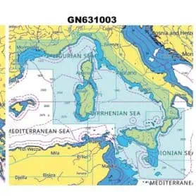
The C-MAP DISCOVER cartridge for the Italy Mediterranean West Coast area is a modern and complete cartographic solution, ideal for yachtsmen, fishermen and sailors who wish to safely and accurately explore the entire western strip of Italy, from the French border to Calabria, including the major islands such as Sardinia, Corsica and Elba.
High-quality, up-to-date vector cartography compatible with leading Lowrance, Simrad and B&G chartplotters
Detailed isobaths for clear representation of the seabed, ideal for both coastal navigation and fishing
Nautical points of interest such as harbours, anchorages, shore services and useful information for stopping and refuelling
Auto Routing Easy Routing™, which automatically suggests safe routes based on depth and vessel size.
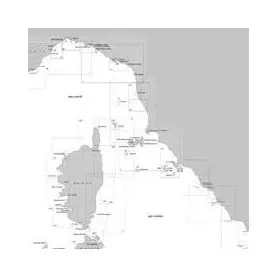
The 42D Educational Chart – Official nautical cartography of the Italian Navy Hydrographic Institute, on a scale of 1:100,000, is an educational tool designed to introduce students to the study and use of official Italian nautical cartography. The 42D is mainly used in training contexts—for example, in courses for obtaining a nautical license or in nautical technical institutes—for chart work exercises, route tracing, surveying, and ship position calculation. While maintaining the layout and authority of the official production of the Hydrographic Institute of the Navy, its main purpose is to teach traditional paper-based navigation techniques.
Pick a color, then click OK