Radio stereo with USB/Bluetooth and remote control.
€157.14
€224.48
-30%


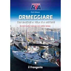
Many boaters recognise that the most critical moment is the mooring manoeuvre in port, where you may have to squeeze into a tight berth amongst other boats.
The aim of this manual is to answer the most common questions and to guide the reader step by step through the learning of the fundamental concepts and rules for safely mooring and unmooring sailing and motor boats.
It also examines the variables that contribute to making the manoeuvre more or less challenging: currents, wind, tides and weather conditions.
The text is accompanied by a comprehensive set of colour illustrations that provide an immediate explanation of the manoeuvre.
Dropping anchor, sleeping soundly and setting sail after retrieving the anchor Manoeuvres and mooring in port After a pleasant sail, whether it be a few miles or hundreds of miles, the most eagerly awaited – yet also the most delicate – moment is the arrival, when you decide whether to anchor in the roadstead or head into port. Anchoring, perhaps in a beautiful secluded bay, offers that priceless feeling of freedom in close contact with nature.
The author addresses beginners in particular, as every good sailor must first and foremost know how to handle themselves correctly in the roadstead and in port, providing those practical tips and ‘tricks of the trade’ that come only from long experience at sea.
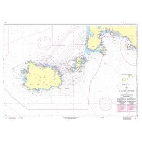
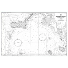
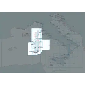
This official nautical chart of the Hydrographic Institute of the Navy accurately depicts the area between the Piombino Channel, the Argentario Promontory and the Scoglio d'Africa. Made at a scale of 1:100,000 and printed on a large sheet measuring 116 x 83 cm, it offers a detailed view of the coastline and seabed of this striking portion of the Tyrrhenian Sea.
Although an accurate reproduction, this chart is not to be used for navigation, but is a valuable resource for cartography enthusiasts, collectors and sea lovers. Perfect for enhancing studies, offices and nautical-themed environments, it is a fascinating object that tells the story and geography of our seas.
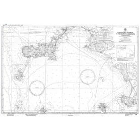
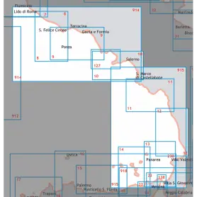
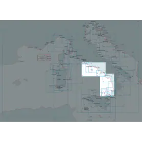
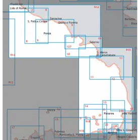
Discover the Central-Southern Tyrrhenian Sea sector with this official nautical chart of the Hydrographic Institute of the Navy, produced at a scale of 1:100,000 for a detailed view of the coastline.
Area represented: from Capo Circeo to Ischia Ponte including the Pontine islands and the eastern coast of Corsica, ideal for coastal navigation and precise route planning.
Technical details: printed on high quality sheet with dimensions of 116 x 83 cm.
Reliability: official product of the Hydrographic Institute of the Navy, synonymous with accuracy and professionalism.
Perfect for yachtsmen, fishermen and anyone who wants a reliable tool for exploring this maritime area.
Discover the Central-Southern Tyrrhenian Sea sector with this official nautical chart of the Hydrographic Institute of the Navy, created on a scale of 1:100,000 for a detailed view of the coastline.
Area represented: from Diamante to Capo Cozzo, ideal for coastal navigation and precise route planning.
Technical details: printed on high quality sheet with dimensions of 116 x 83 cm.
Reliability: official product of the Hydrographic Institute of the Navy, synonymous with accuracy and professionalism.
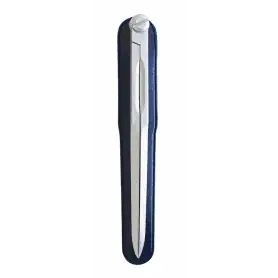
Anodised and satin-finished light alloy compasses. Length mm. 180
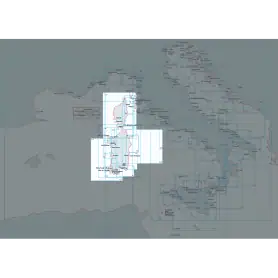
Official nautical chart of the Italian Hydrographic Institute of the Navy, produced on a scale of 1:100,000, representing the stretch of sea from Castelsardo to Olbia/Bocche di Bonifacio. Printed on a large sheet measuring 83 x 116 cm, the chart offers a detailed representation of the coastline, seabed and main nautical features of the area, making it an indispensable tool for navigating this stretch of the Mediterranean Sea. Ideal for yachtsmen, sea professionals and enthusiasts, it combines technical precision and graphic quality, according to the high standards of the Hydrographic Institute of the Navy.
Nautical chart of the Hydrographic Institute of the Navy, in SCALE 1:100,000, printed on sheet size 116 x 83 cm. NOT TO BE USED FOR NAVIGATION from Castel sardo to Olbia/Bocche Bonifacio.
Official nautical chart of the Italian Navy Hydrographic Institute, scale 1:100,000, from Olbia to Capo di Monte Santu Printed on a large sheet measuring 83 x 116 cm, the chart offers a detailed representation of the coastline, seabed and main nautical features of the area, making it an indispensable tool for navigating this stretch of the Mediterranean Sea. Ideal for yachtsmen, sea professionals and enthusiasts, it combines technical precision and graphic quality, according to the high standards of the Hydrographic Institute of the Navy.
Official nautical chart from the Italian Hydrographic Institute of the Navy, at a scale of 1:100,000, designed to ensure accuracy and reliability in coastal navigation. Printed on a large-format sheet (116 × 83 cm), it provides a clear and detailed representation of the stretch of sea from Capo Carbonara to Capo Spartivento.
Official nautical chart of the Istituto Idrografico della Marina, produced on a scale of 1:100,000, representing Olbia and Golfo Aranci. Printed on a large sheet measuring 83 x 116 cm, the chart offers a detailed representation of the coastline, seabed and main nautical features of the area, making it an indispensable tool for navigation in this part of the Mediterranean Sea. Ideal for yachtsmen, sea professionals and enthusiasts, it combines technical precision and graphic quality, according to the high standards of the Hydrographic Institute of the Navy.
Nautical chart of the Hydrographic Institute of the Navy (LIGURY SEA - TYRRANEAN SEA - STRAIT OF SICILY)
Navigate with precision through the Ligurian Sea, Tyrrhenian Sea and Strait of Sicily thanks to this official nautical chart of the Hydrographic Institute of the Navy, produced at a scale of 1:1,000,000.
Area represented: sector of the Ligurian Sea and Central-Northern Tyrrhenian Sea, perfect for deep-sea navigation and long-range orientation.
Technical details: printed on high quality, durable foil, with dimensions of 83 x 116 cm.
Authenticity: compliance with the highest standards of cartographic accuracy of the Hydrographic Institute of the Navy.
Indispensable for navigation professionals, sea enthusiasts and chart collectors.
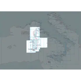
Official nautical chart from the Italian Hydrographic Institute of the Navy, at a scale of 1:100,000, designed to ensure accuracy and reliability in coastal navigation. Printed on a large-format sheet (116 × 83 cm), it provides a clear and detailed representation Corsica island.
Official nautical chart of the Italian Hydrographic Institute of the Navy, produced on a scale of 1:100,000, representing the stretch of sea from Cape Bellavista to the Strait of Bonifacio. Printed on a large sheet measuring 83 x 116 cm, the chart offers a detailed representation of the coastline, seabed and main nautical features of the area, making it an indispensable tool for navigating this stretch of the Mediterranean Sea. Ideal for yachtsmen, sea professionals and enthusiasts, it combines technical precision and graphic quality, according to the high standards of the Hydrographic Institute of the Navy.
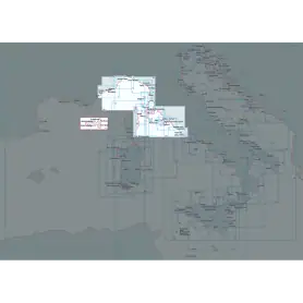
Official nautical chart from the Italian Hydrographic Institute of the Navy, at a scale of 1:100,000, designed to ensure accuracy and reliability in coastal navigation. Printed on a large-format sheet (116 × 83 cm), it provides a clear and detailed representation of the stretch of sea from the Piombino Channel to Fiumicino, including the eastern coast of Corsica.
Explore the Central-Southern Tyrrhenian Sea with this official nautical chart of the Hydrographic Institute of the Navy, produced at a scale of 1:250,000.
Area covered: from Fiumicino to Punta Licosa, perfect for route planning and coastal navigation.
Technical details: printed on high quality sheet, with dimensions of 116 x 83 cm.
Officiality: guarantee of accuracy and updates according to the standards of the Hydrographic Institute of the Navy.
An essential tool for mariners, fishermen and sea enthusiasts, ideal for safe planning or for collectors of nautical maps.
Available now to enrich your navigation experience!
Official nautical chart published by the Italian Hydrographic Institute of the Navy, at a scale of 1:100,000. Ideal for coastal navigation planning and accurate route reference.
This chart covers the area from Capo Orlando to Capo Zafferano, including the island of Filicudi, and provides essential navigational information for safe boating.
Features:
Official chart produced by the Italian Navy Hydrographic Institute, scale 1:250,000, printed on large sheets (116 x 83 cm). It covers the stretch of sea from Capo Rossello to Augusta, including the Maltese Islands.
Ideal for coastal and offshore navigation, it provides detailed information on bathymetry, seabeds, maritime signals, ports, and main coastal landmarks, ensuring accuracy and reliability in accordance with official cartographic standards.
Official nautical chart from the Italian Hydrographic Institute of the Navy, at a scale of 1:100,000, designed to ensure accuracy and reliability in coastal navigation. Printed on a large-format sheet (116 × 83 cm), it provides a clear and detailed representation of the stretch of sea from Augusta to Punta Stilo.
Official nautical chart from the Italian Hydrographic Institute of the Navy, at a scale of 1:100,000, designed to ensure accuracy and reliability in coastal navigation. Printed on a large-format sheet (116 × 83 cm), it provides a clear and detailed representation of the stretch of sea from Punta Stilo to Cape Santa Maria di Leuca.
Official nautical chart published by the Istituto Idrografico della Marina, produced at a scale of 1:250,000, ideal for coastal and offshore navigation planning in the central and southern Adriatic Sea.
The chart covers the maritime area from Torre Canne to Vieste, including the Bocche di Cattaro (also known as the Bay of Kotor), a strategic location in the southern Adriatic.
Scale: 1:250,000
Sheet dimensions: 116 × 83 cm
Type: Official nautical chart
Publisher: Istituto Idrografico della Marina
This official nautical chart of the Hydrographic Institute of the Navy accurately depicts the area of the north-central Adriatic, extending from Porto San Giorgio to Porto Corsini. Made at a scale of 1:250,000 and printed on an 83 x 116 cm sheet, it provides a detailed view of the coastline and maritime features of the area.
Pick a color, then click OK